Do you need winter photography for your development?
25 Jan 2025
25 Jan 2025
Last August, the Landscape Institute issued advice regarding winter photography “Regarding seasonal constraints, it is within the competence of a landscape professional to be able to describe how the landscape and views would vary with the seasons, and to take account of these changes in their assessment.”
And whilst local authorities may no longer insist on winter photography, we may still recommend that this is undertaken in order to build a robust evidence base.
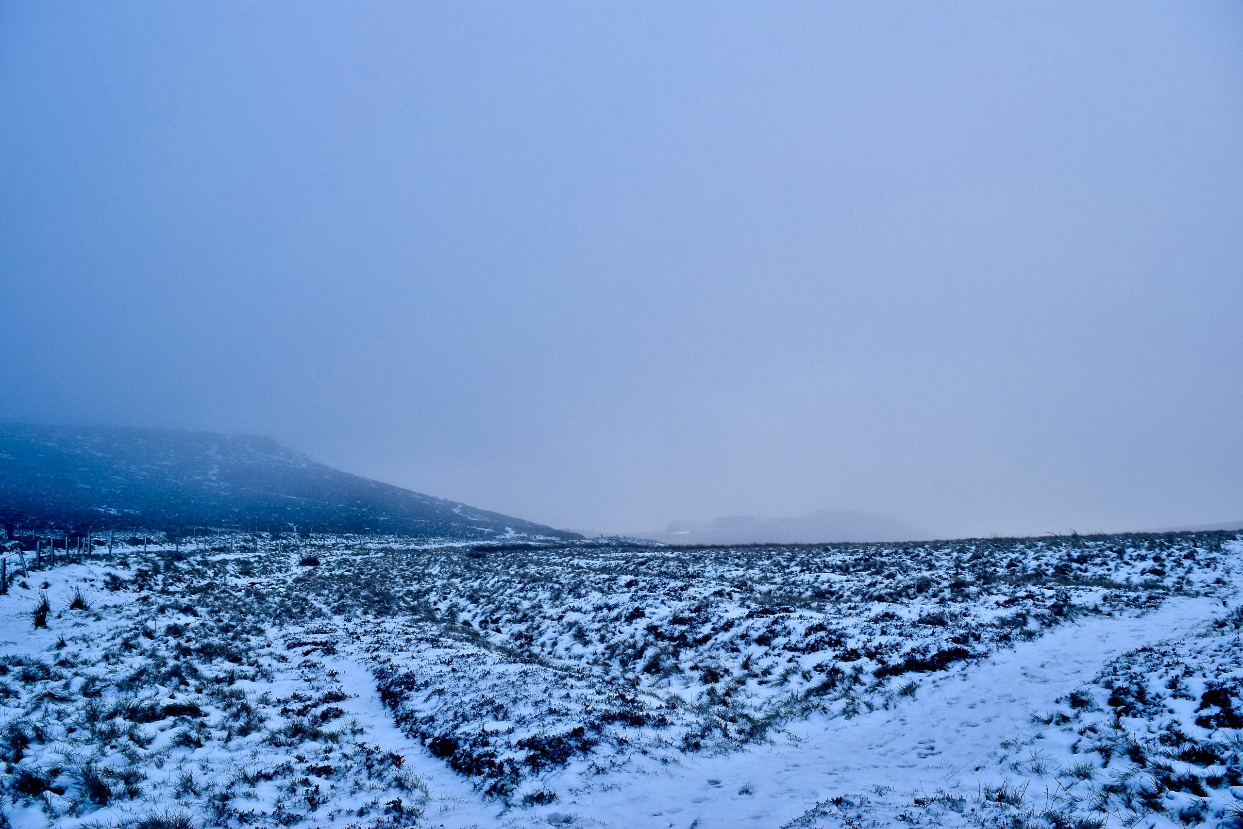
Essentially, the GLVIA3 says you have to assess ‘worst case’ scenario, which means getting winter photography if project timeframes allow. Not including it leaves developers open to huge criticism and makes the LVIA weak and easier to dismiss.
Savvy developers instruct us to take winter photography before the project kicks off. We know we might not get all the viewpoints (the Council might raise more later) but it’s much better than nothing. Ideally, it needs to be done before the end of Feb, but in some cases, you can still get results until the end of March depending on the latitude
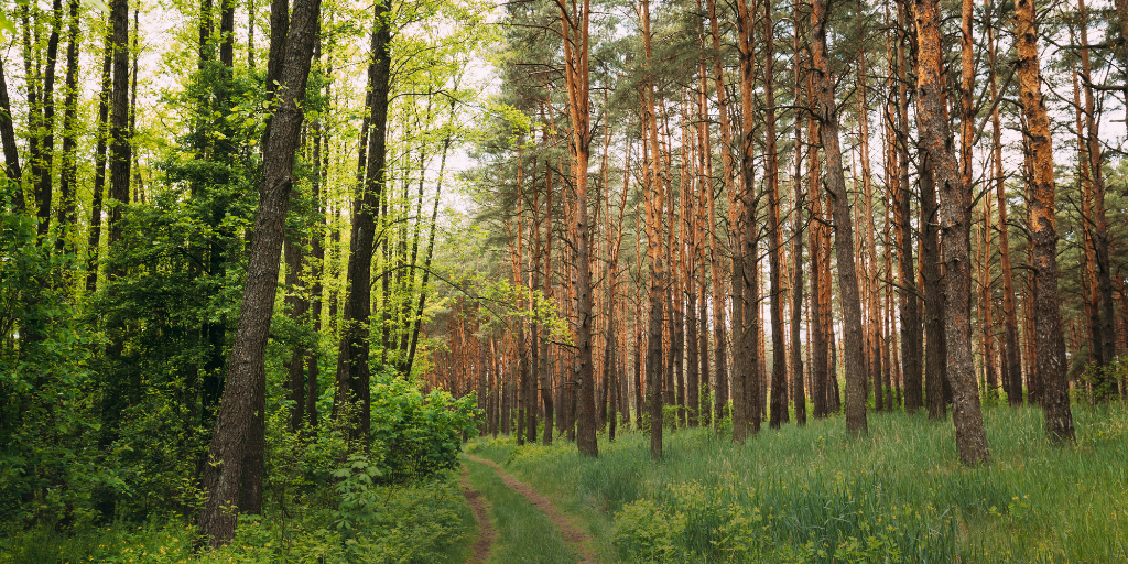
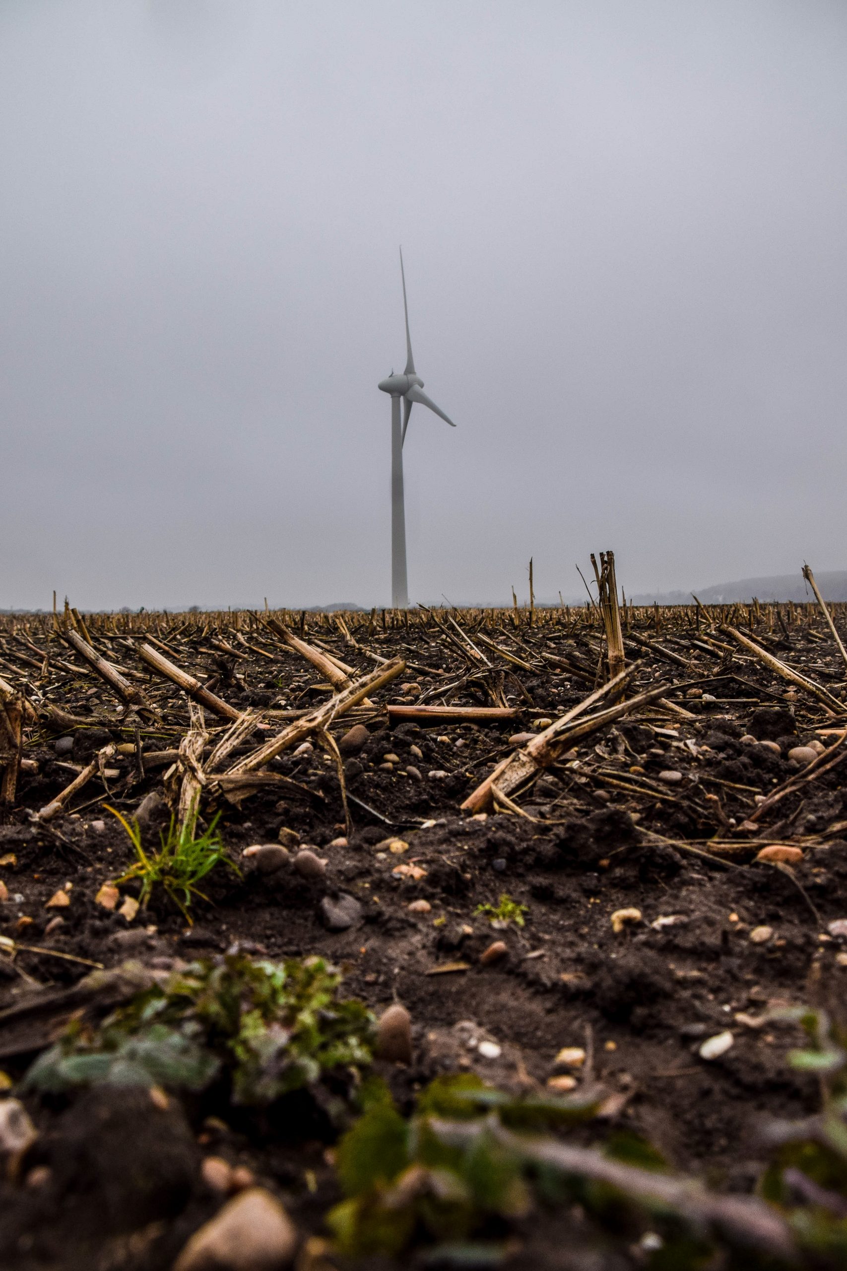
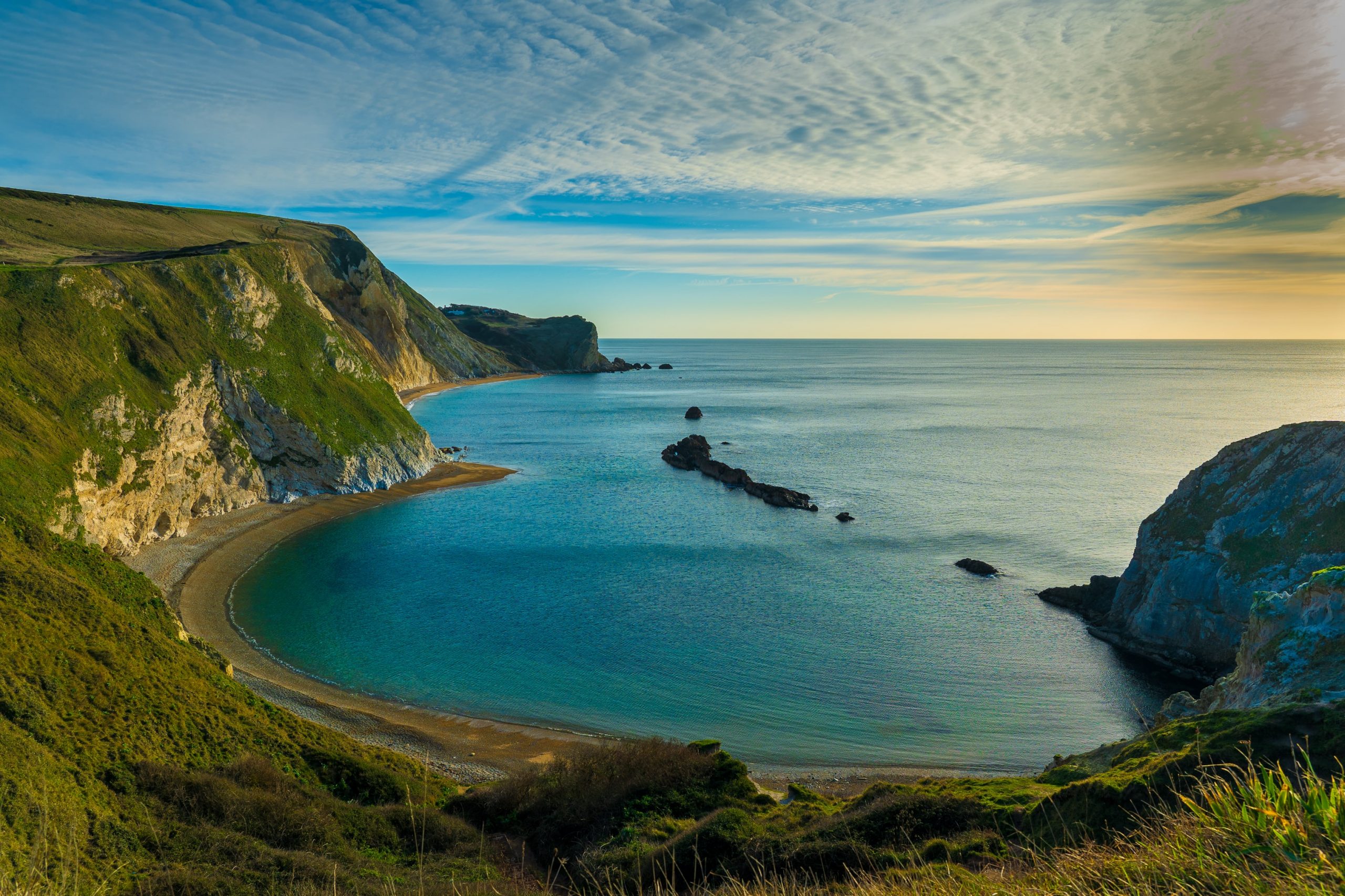
Winter photography is a critical aspect of visual impact assessments, it makes a robust case for your planning application. Development, by its very nature, considers the future — so it’s only natural to consider seasonality (seasonal changes).
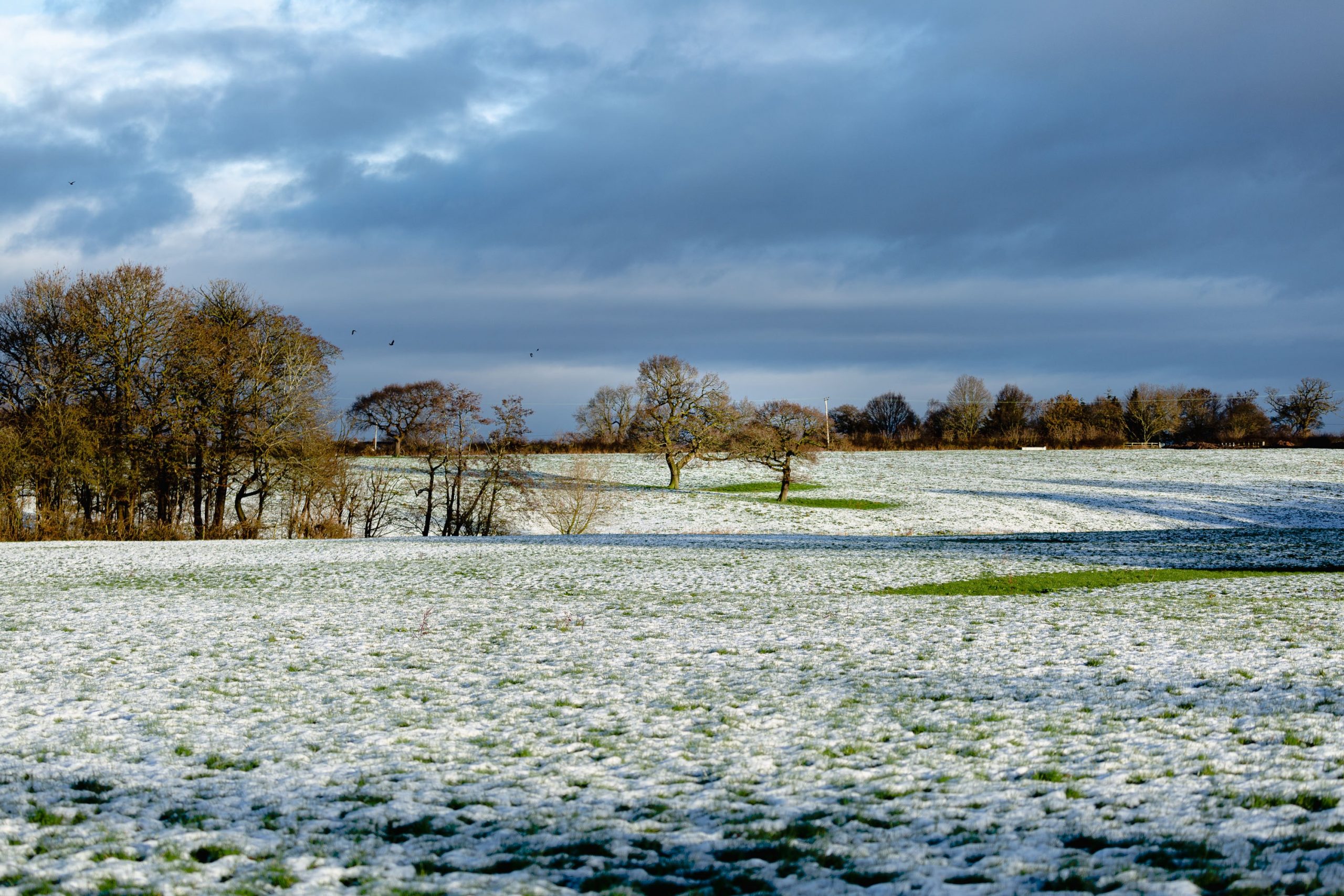
Winter photography tells a story. It sets the scene: highlighting important views, giving context, and illustrating the visual impact during the colder months – when there’s less leaf cover.
Winter photography guarantees the worst-case scenario and is assessed from the most sensitive locations, in keeping with Guidelines for Landscape and Visual Impact Assessment (GLVIA3)–which establishes best practice with completed Landscape and Visual Impact Assessments (LVIAs).
Changing outdoor elements can vastly impact the impression of a development scheme. What may seem harmonious during summer, where greenery can alter lighting (and provide natural cover), may raise complaints in the harsh light of winter, as trees are stripped of their leaves – exposing more of the development.
Winter photography ensures the strongest case for your site. Without it, it’s difficult to know how your development will impact the views.
No prizes for guessing …. winter photography is usually captured during the colder months, between autumn and spring. On the day of the shoot, there are important factors to consider:
Before your photographer completes their site visit, there are a few things they need to do:
Overall, these precautionary tasks will provide a comprehensive scope of the site, supplying deeper context and allowing stakeholders to reach an informed decision.
Winter photography is often required to support technical and complicated reports such as Landscape Visual Impact Assessments (LVIA), Appraisals, and Environment Impact Assessments (EIA). These assessments help decision-makers determine the effects of a proposal and whether to accept or reject any applications.
In some cases, winter photography is requested by the Council, to make the worst-case visual scenarios for the site more apparent.
It’s also possible to complete winter photography for upcoming projects before most of the work begins. Having the images on file allows for fewer disruptions once works are underway.
Look for members of the Landscape Institute. And check to see if the landscape planning consultancy in question has experience dealing with the particulars of your development.
For example, our case studies highlight the type of clients we’ve worked with and the developments we’ve helped get over the line.
Best-practice winter photography should:
Your chosen photographer should also have used public viewpoint locations in line with GLVIA3, as well as public viewpoints on private land, such as National Trust locations and Scheduled Ancient Monuments.
Now you understand the importance of winter photography. It’s an essential step in making sure your development works with nature across every season, and a deciding factor when it comes to the success of your application.
Now is a fantastic time to get in touch about winter photography to strengthen your site development plans.
Contact us today and we’ll brace the bitter elements for you.